Inyo National Forest

Inyo National Forest

California, Nevada

Managed by U.S. Forest Service, Pacific Southwest Region

2,048,459 acres (1,948,726 federal/ 99,733 other)

Website: https://www.fs.usda.gov/inyo

Overview

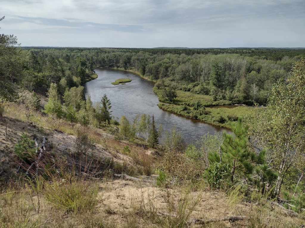
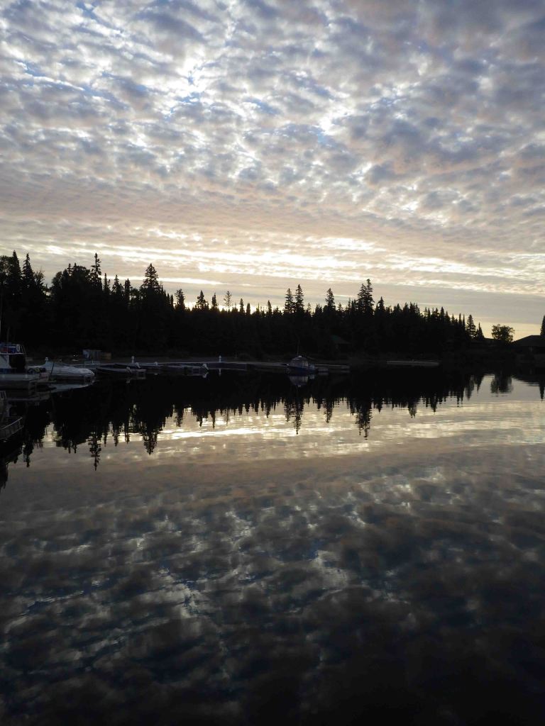
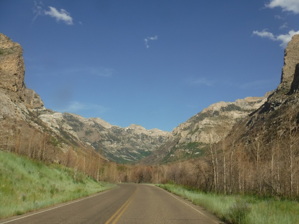
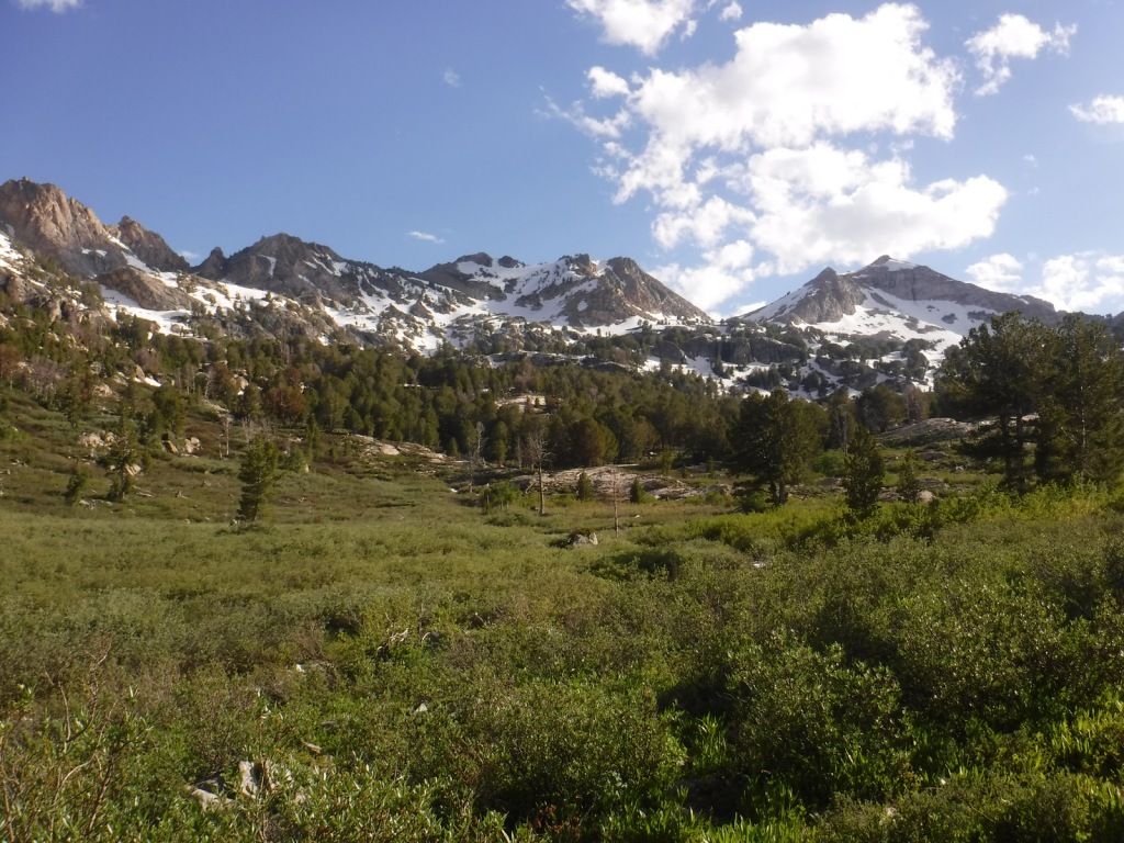
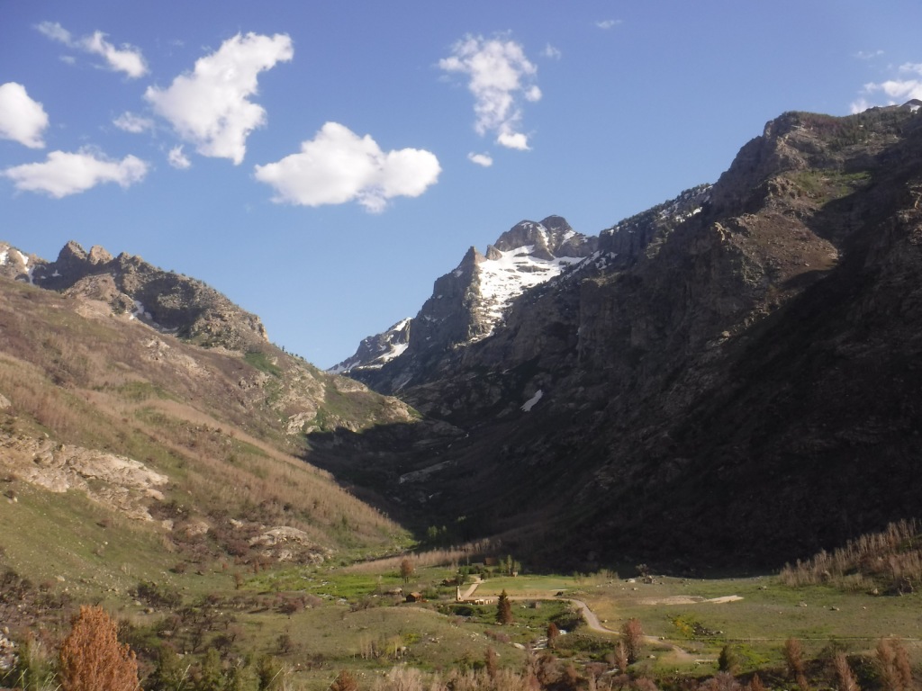
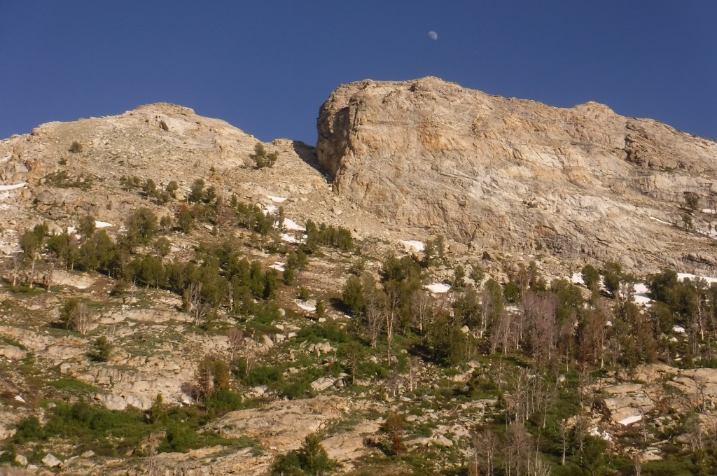
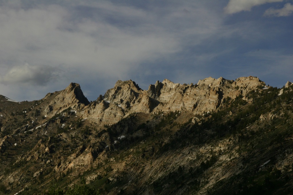
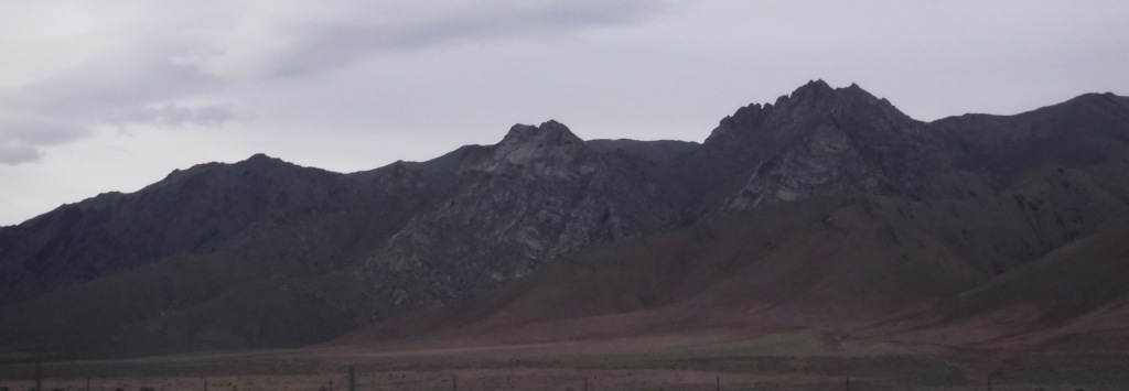
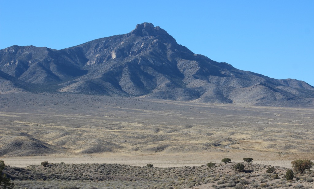
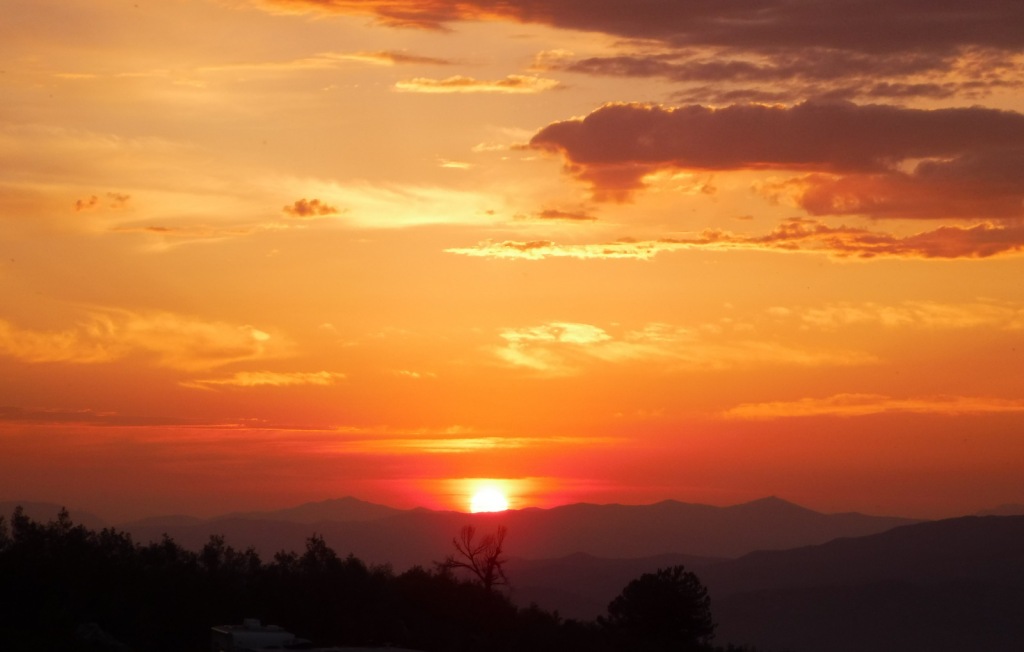
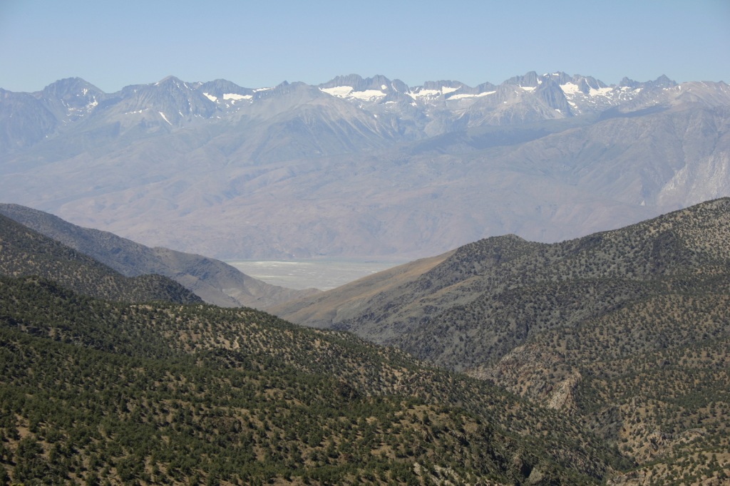
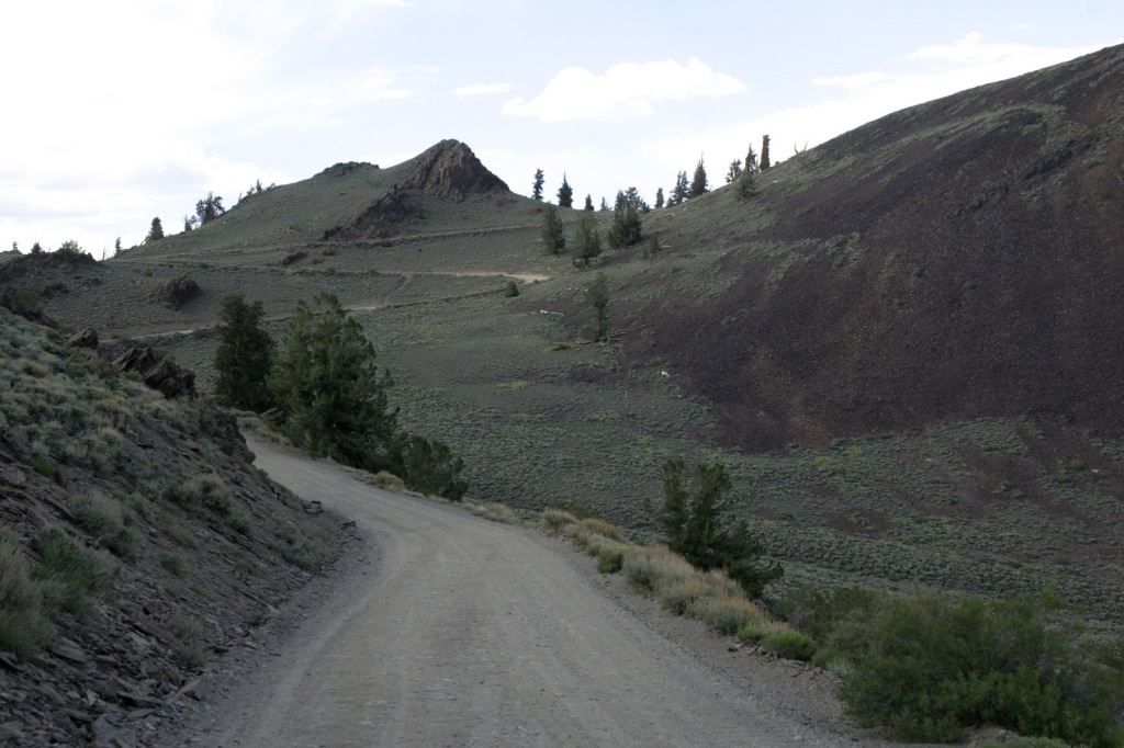
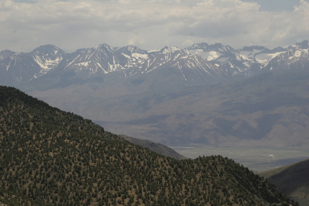
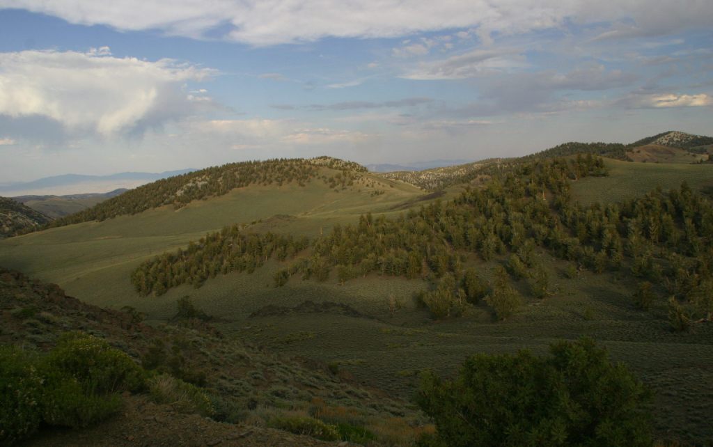
Inyo National Forest was established by President Teddy Roosevelt in 1907 to accommodate the Los Angeles Aqueduct, so it is mostly sagebrush slopes without much dense forest cover.  We added it to our Top 10 Movies Filmed in National Forests after reading its history as a filming location.  Inyo National Forest offers the shortest route to Mt. Whitney, the tallest peak in the contiguous U.S. at 14,495 feet in elevation.  Its proximity to Badwater Basin (282 feet below sea level) in Death Valley National Park makes its rise all the more impressive.  You will need a permit to summit, since this popular peak lies within Sequoia National Park.  One added benefit is you will learn all about how to use a “W.A.G. bag.”  In addition to accessing the eastern Sierra Nevada (see Best Trail), Inyo National Forest also offers a portal to the beautiful White Mountains along the California-Nevada border (see Must-Do Activity) and 800,000 acres of designated Wilderness. 

Highlights

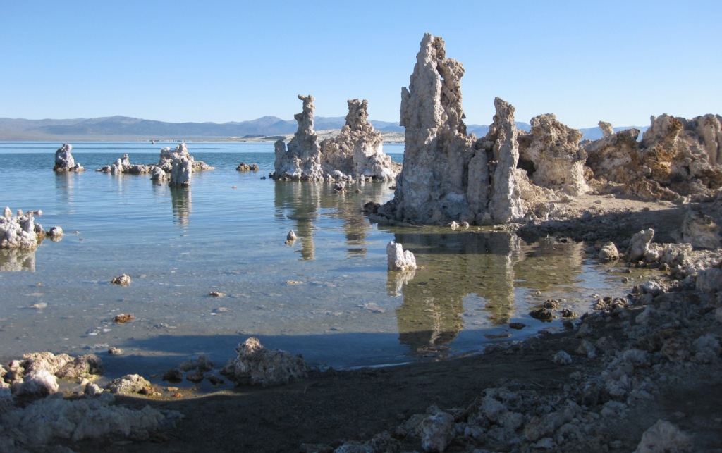
Mono Basin National Scenic Area (see our blog post), Lee Vining Canyon Scenic Byway, Tioga Pass, Ancient Bristlecone Pine Forest, Convict Lake, Hot Creek Geologic Site, Mammoth Lakes, Minaret Summit Vista, Crystal Lake, Mt. Whitney Trail, Minaret Falls, Pacific Crest National Scenic Trail

Must-Do Activity

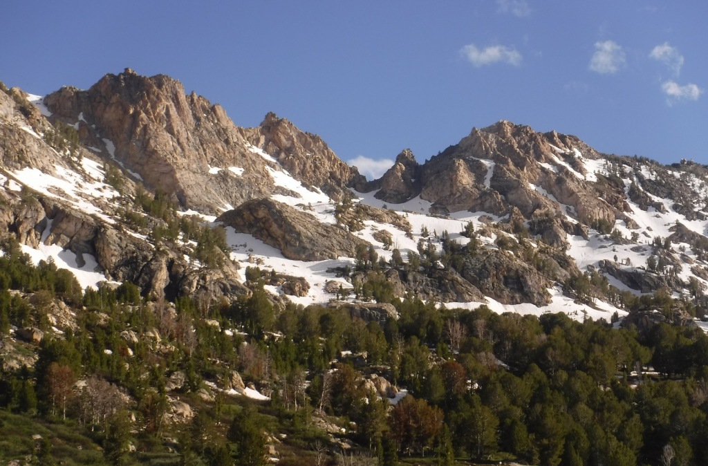
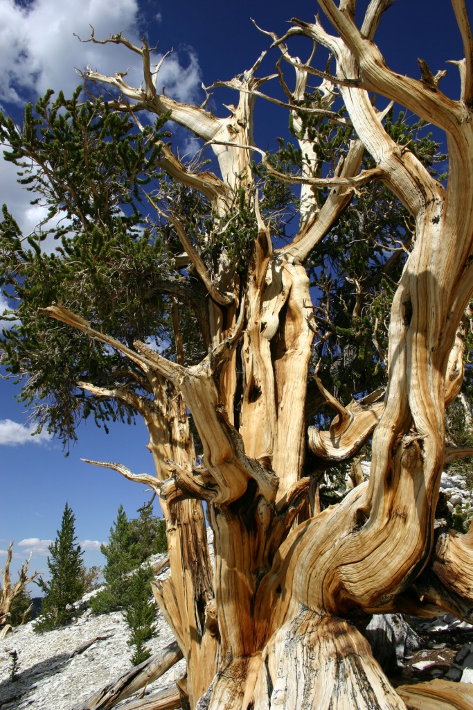
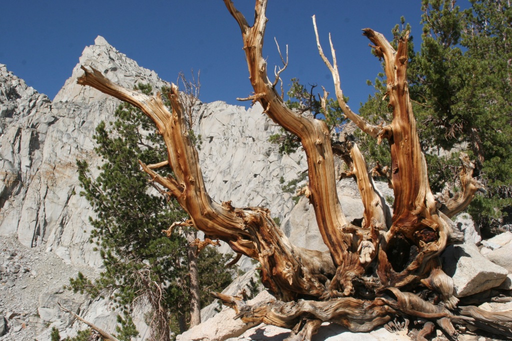
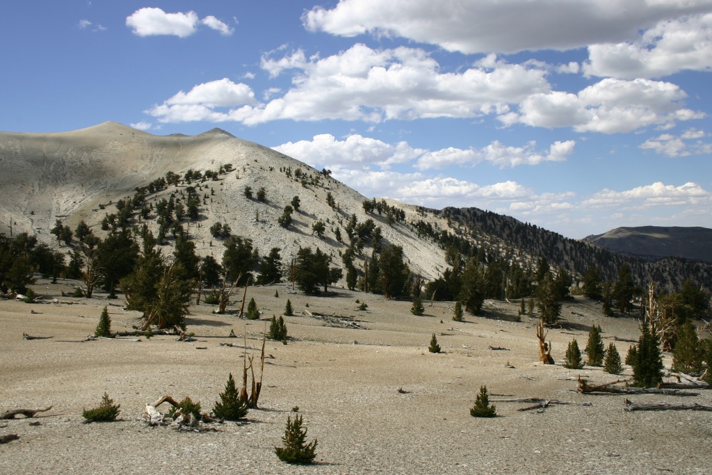
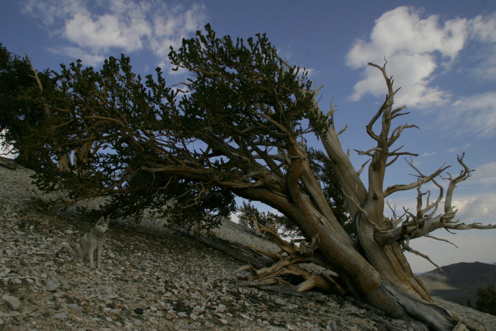
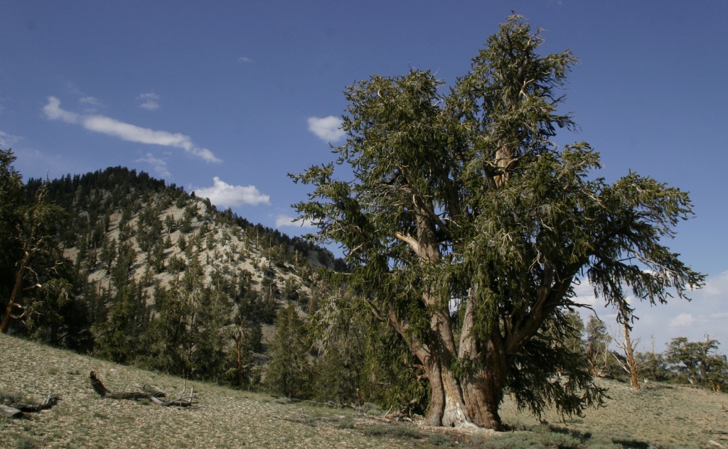
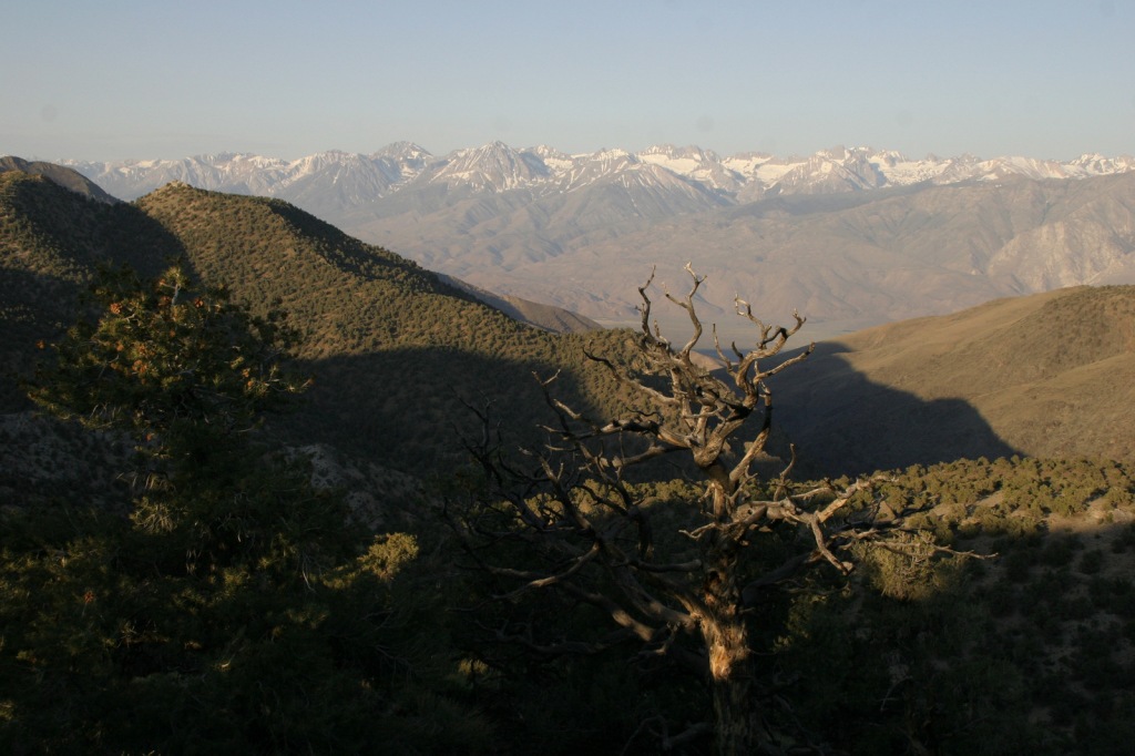
In the White Mountains, a paved road leads to the U.S. Forest Service visitor center at the Ancient Bristlecone Pine Forest, where a 4.5-mile loop trail through the Methuselah Grove passes one live Great Basin bristlecone pine tree recorded at over 5,000 years of age.  That ranks it as the oldest living single-stem tree on the planet based on annual tree-ring measurements.  You can continue to drive above 11,000 feet in elevation along a narrow gravel road famous for puncturing tires (so bring a spare).  The route offers awesome views of the Owens Valley and Mt. Whitney, then takes you to the Patriarch Grove, a wonderful park of gnarled Great Basin bristlecone pine trees surrounded by snow throughout the summer. 
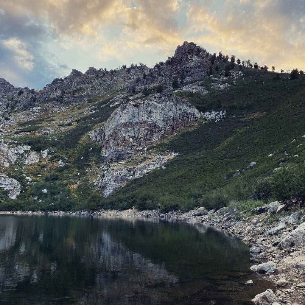
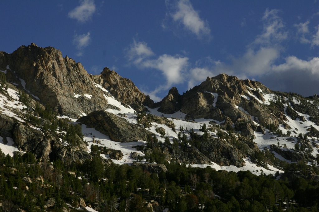
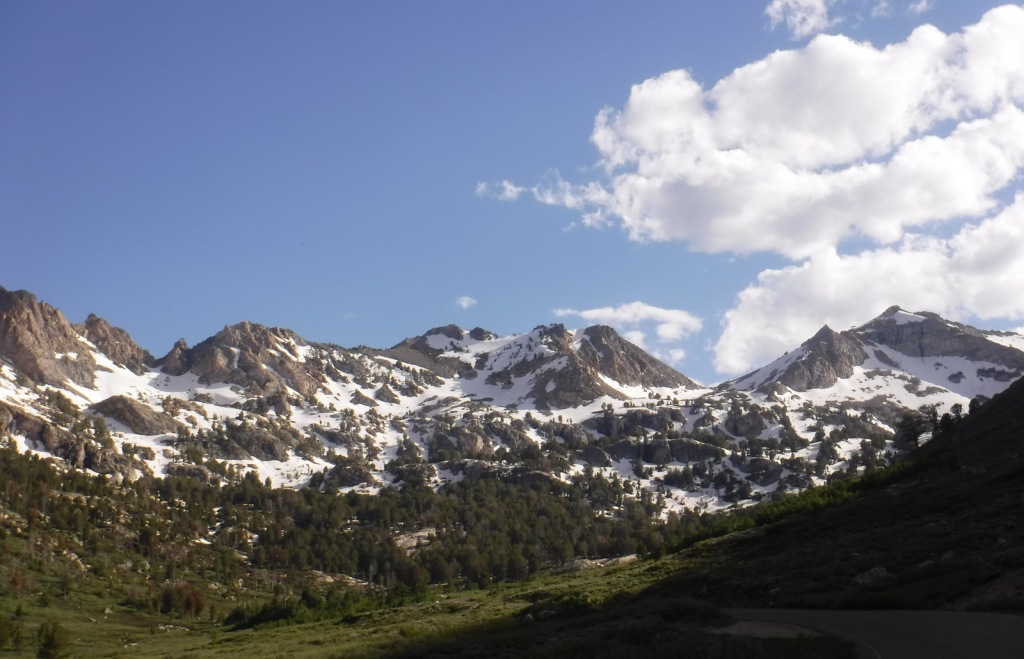
Best Trail

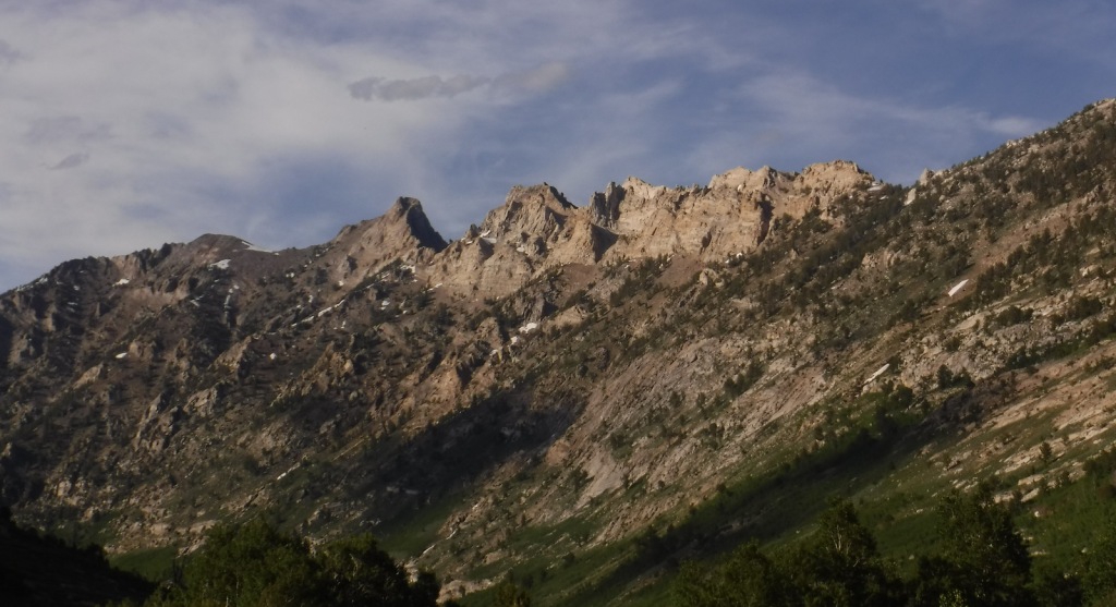
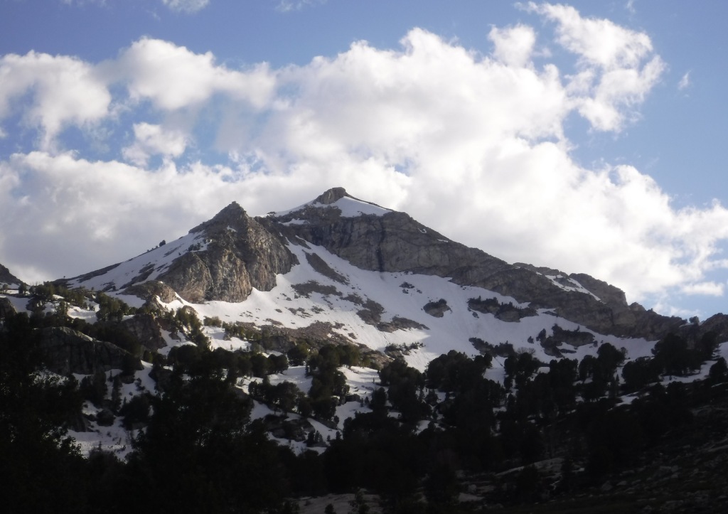
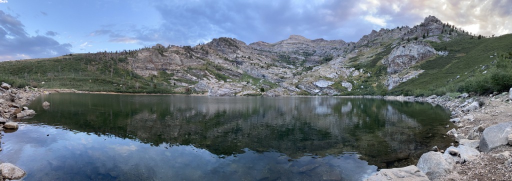
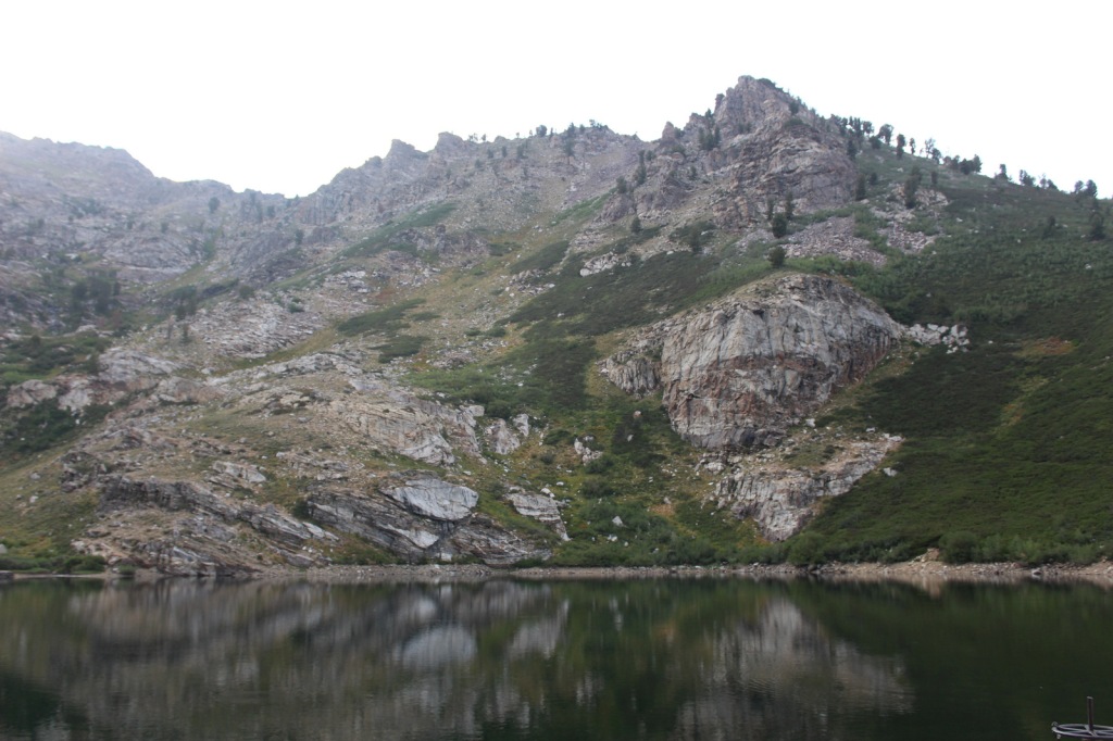
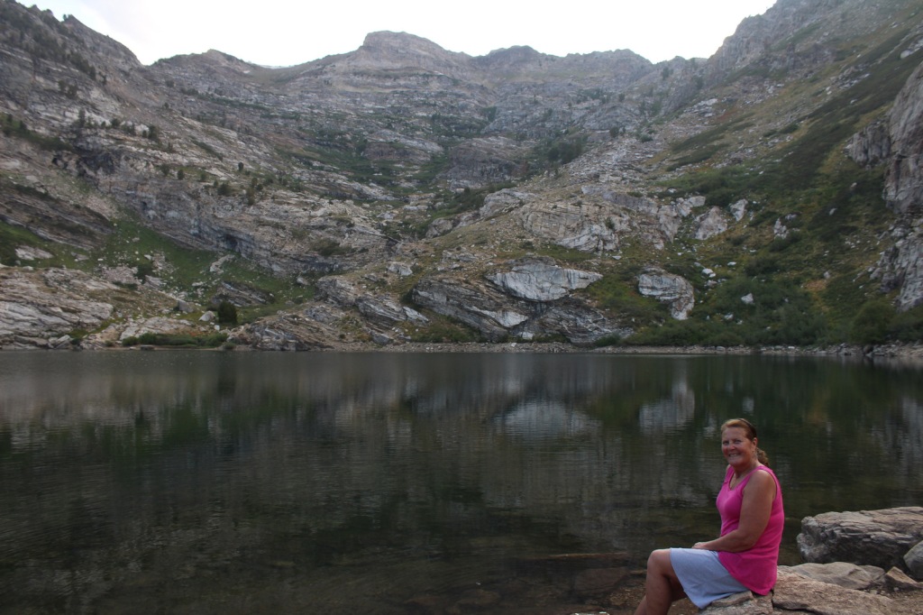
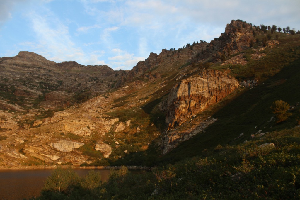
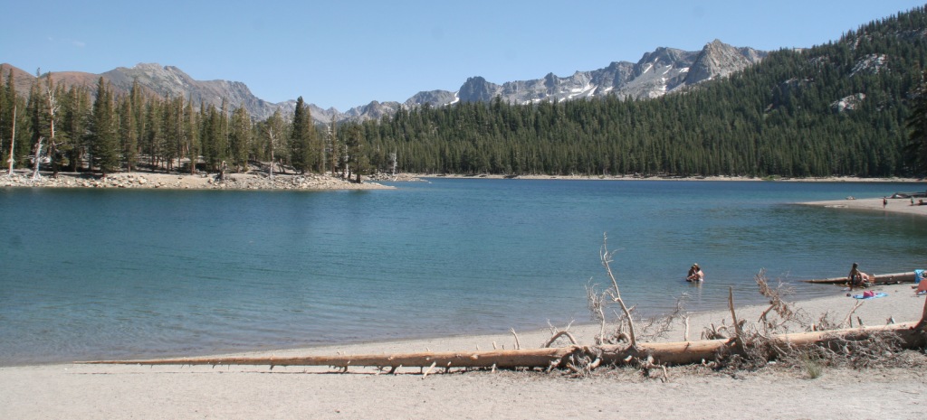
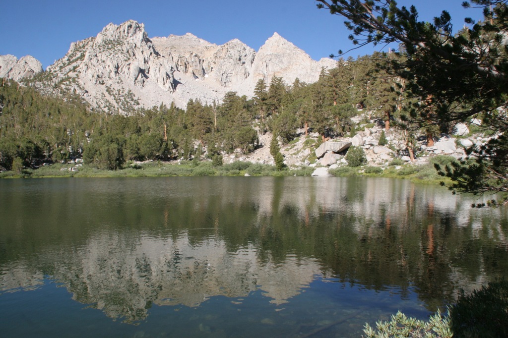
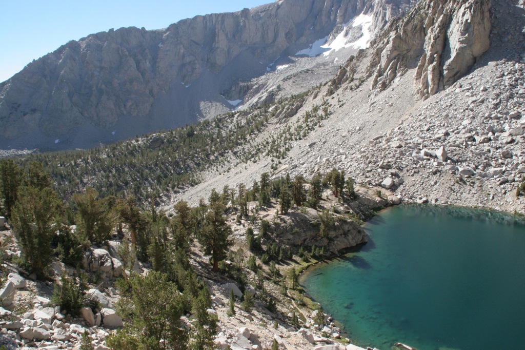
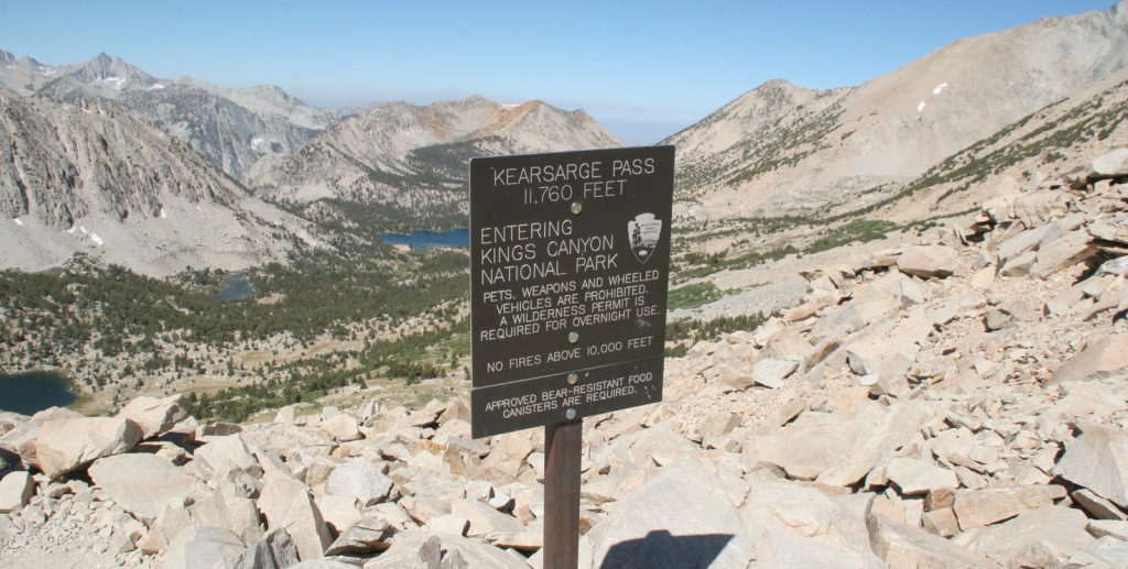
Onion Valley Road west of Independence dead ends at the trailhead for Kearsarge Pass in the Sierra Nevada.  The trail is a series of endless switchbacks that lead past beautifully twisted foxtail pines and unbelievably blue lakes up to the 11,823-foot pass at the boundary with Kings Canyon National Park.  The view from the pass is worth the effort, even if you do not proceed to enter the National Park, for which you need a permit to camp overnight.  John Muir called these mountains “the range of light,” and from up here you will surely see why. 
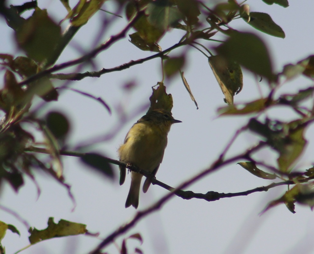
Watchable Wildlife

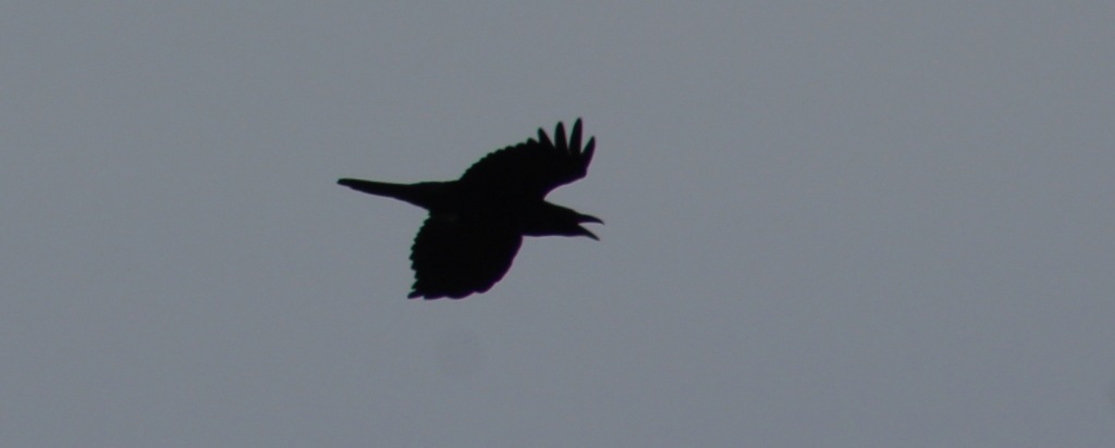
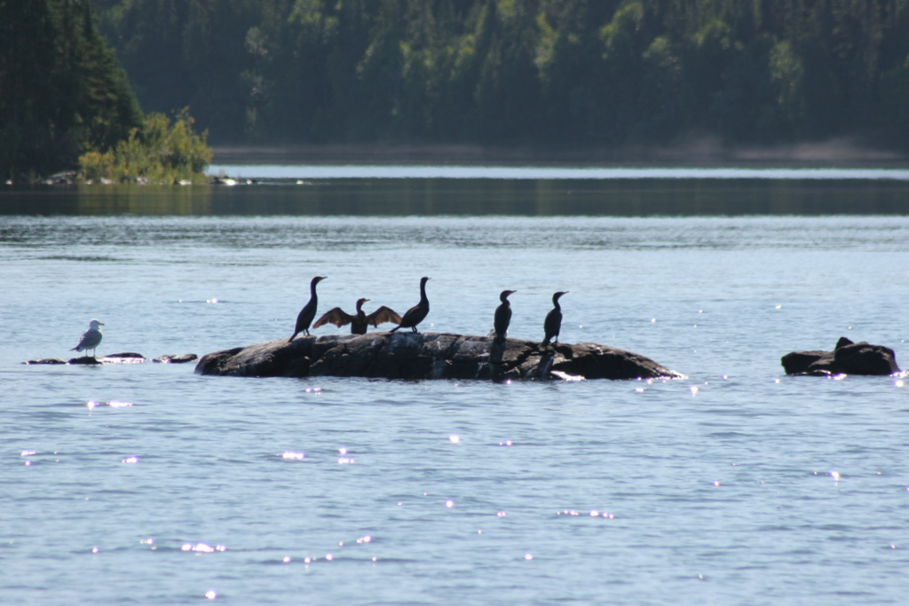
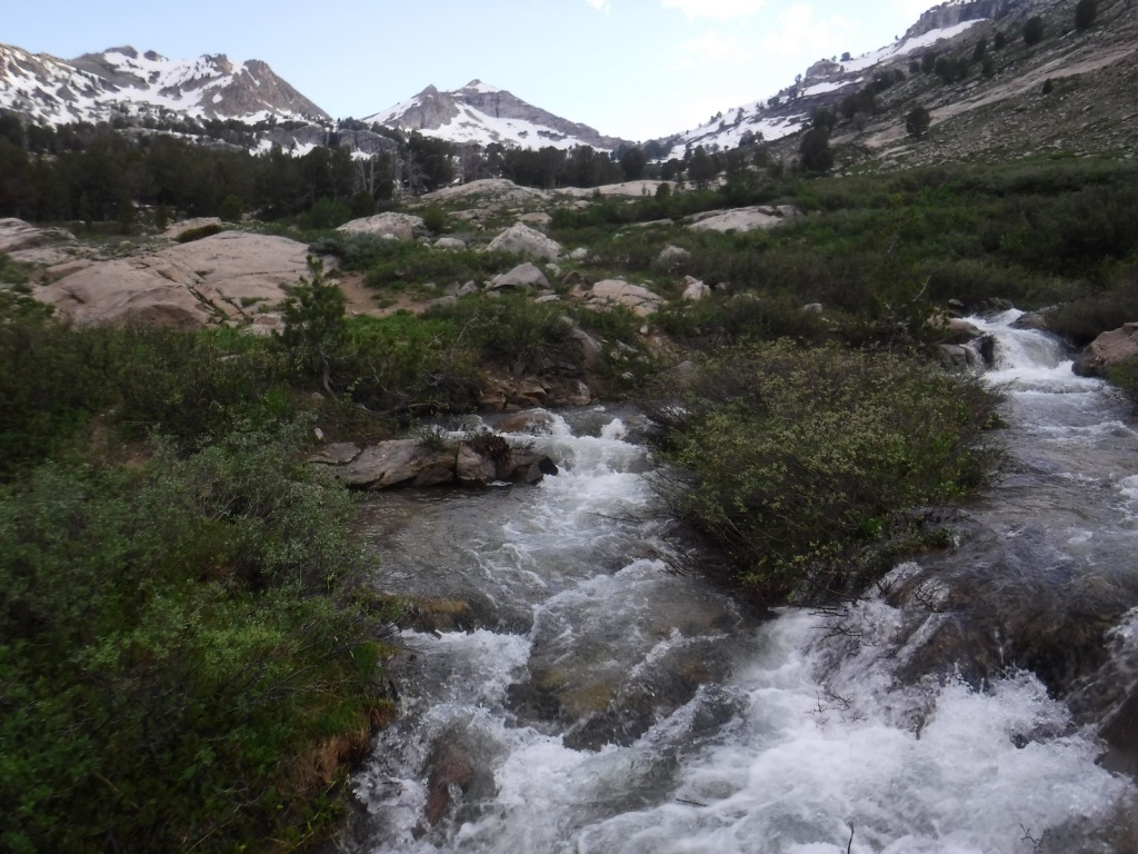
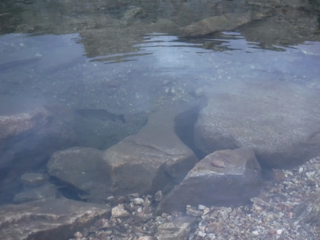
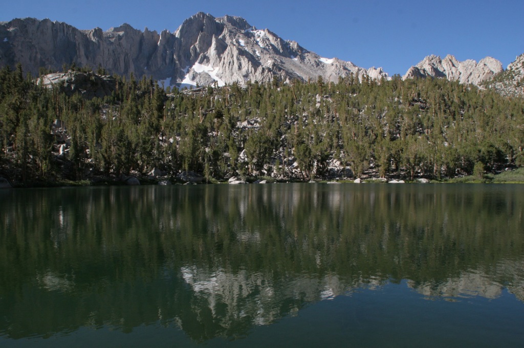
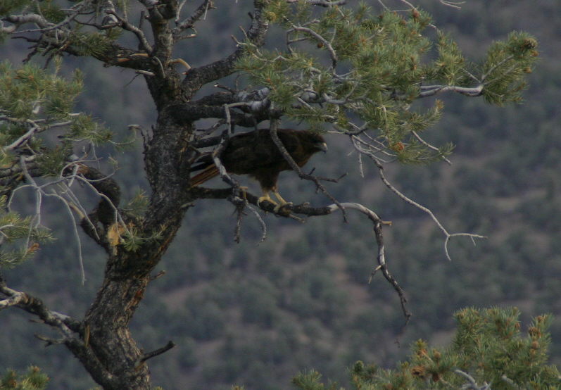
Inyo National Forest is on the rain-shadow side of the Sierra Nevada, so it generally receives less precipitation throughout the year than the western slopes, especially at lower elevations.  In the conifer forests of the mountains look for mule deer, black bears, weasels, martens, mountain lions, and bobcats.  California quail, mountain quail, sooty grouse, and wild turkeys are common game birds.  Watch the skies for raptors like bald eagles, ospreys, red-tailed hawks, and turkey vultures. 

Instagram-worthy Photo

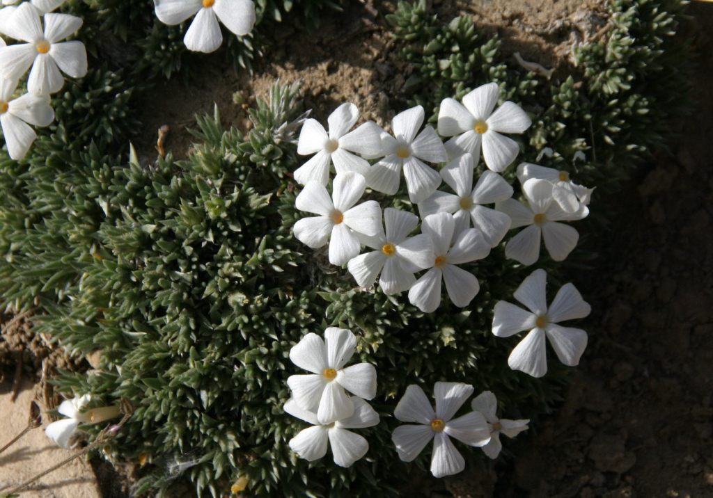
Sun-streaked and wind-blasted branches of bristlecone pine trees twist in backbreaking curls, stretching up towards the deep blue skies above 10,000 feet elevation.

Peak Season

Summer

Fees

There are no day use fees to our knowledge.
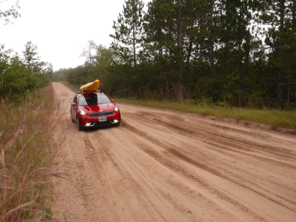
Road Conditions

The road is paved to the trailhead for the 4.5-mile loop through the Methuselah Grove in the Ancient Bristlecone Pine Forest.  The unpaved road beyond is famous for puncturing tires (so take it slow and bring a spare) and retains snow late into the summer.  A shuttle ticket or camping permit is required to drive into the National Forest west of the ski resort town of Mammoth Lakes to access Devils Postpile National Monument.
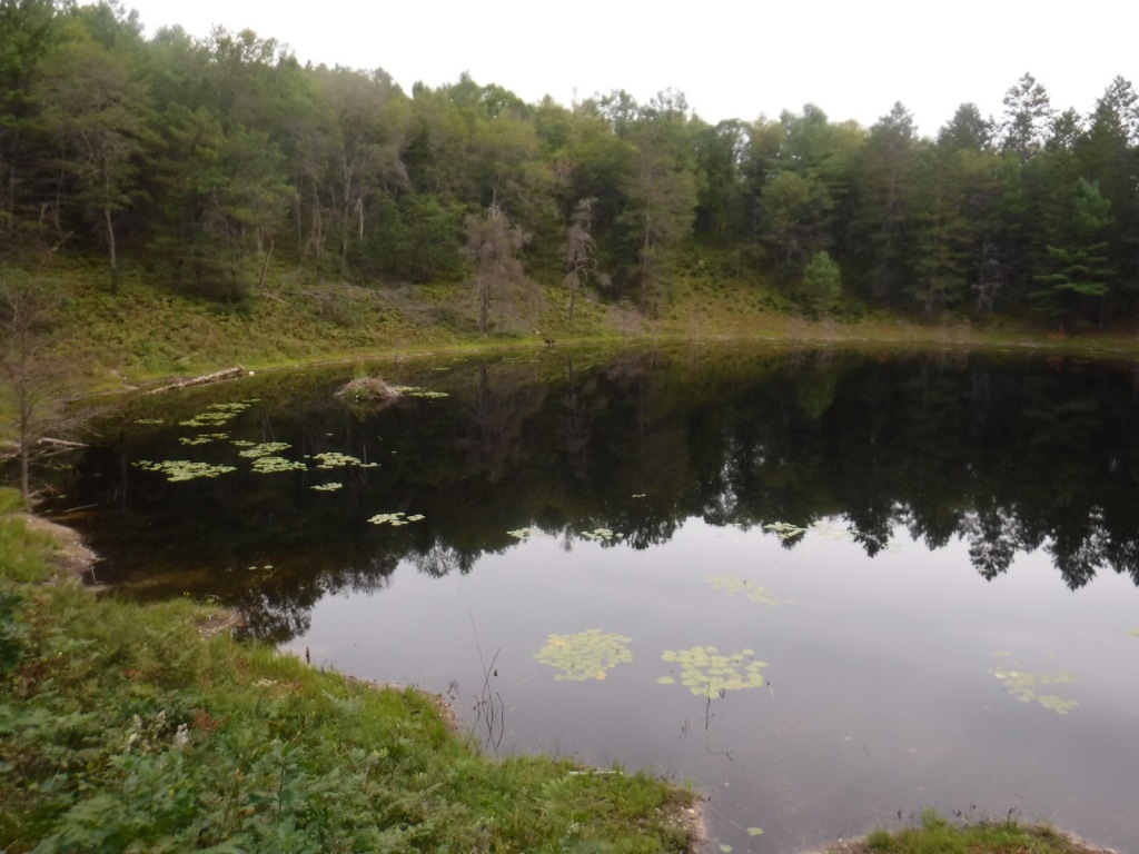
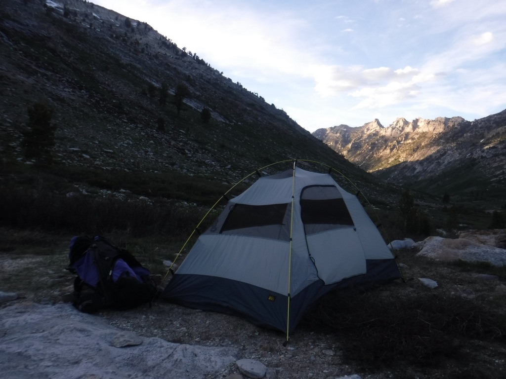
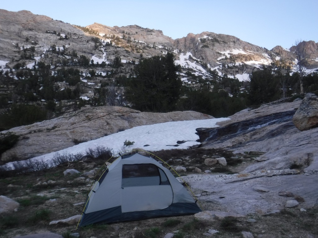
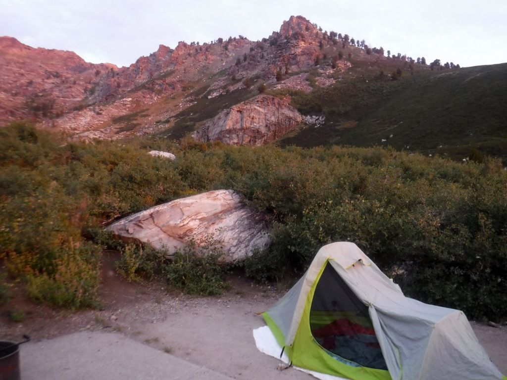
Camping

Grandview Campground near the Ancient Bristlecone Pine Forest lives up to its name.  There is a campground at Whitney Portal Trailhead and two on Onion Valley Road on the way to the trailhead for Kearsarge Pass (plus some epic dispersed campsites). 
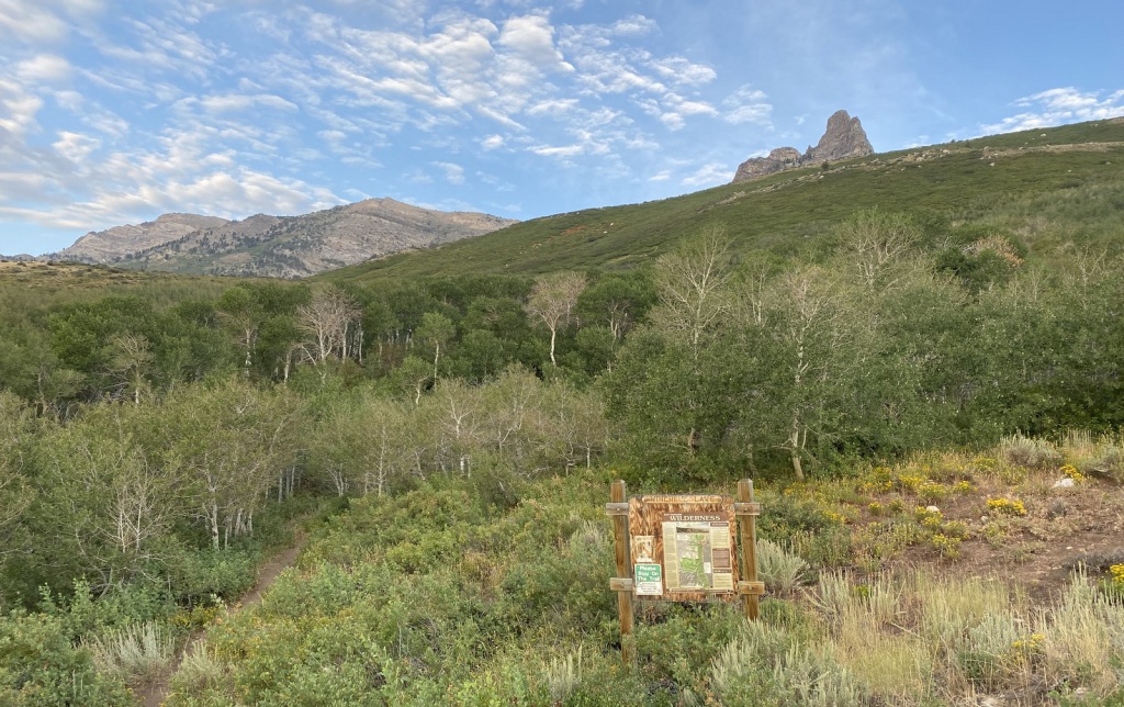
Wilderness Areas

Ansel Adams Wilderness (also in Sierra National Forest and Devils Postpile National Monument)

Boundary Peak Wilderness

Golden Trout Wilderness (also in Sequoia National Forest)

Hoover Wilderness (also in Toiyabe National Forest)

Inyo Mountains Wilderness

John Muir Wilderness (also in Sierra National Forest)

Owens River Headwaters Wilderness

South Sierra Wilderness (also in Sequoia National Forest)

White Mountains Wilderness

Related Sites

Humboldt National Forest (Nevada)

Yosemite National Park (California)

Manzanar National Historic Site (California)

Nearest National Park

Kings Canyon

Conifer Tree Species

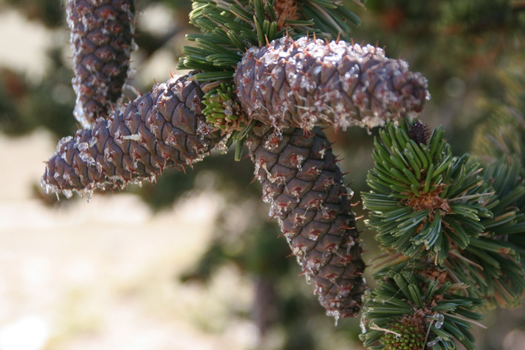
Great Basin bristlecone pine, foxtail pine, Jeffrey pine, ponderosa pine, lodgepole pine, Douglas-fir, California red fir, white fir, incense-cedar

Flowering Tree Species

quaking aspen, greenleaf manzanita, sagebrush

Explore More – What 1973 film starring Clint Eastwood was filmed in Inyo National Forest?

Learn more about this and the 154 other National Forests in our new guidebook Out in the Woods

Huron National Forest

Huron National Forest

Michigan

Managed by U.S. Forest Service, Eastern Region

694,056 acres (438,584 federal/ 255,472 other)

Website: https://www.fs.usda.gov/hmnf

Overview

Huron National Forest occupies a strip of land in eastern Michigan that follows the Au Sable National Wild and Scenic River to near its confluence with Lake Huron.  The National Forest was established in 1909 after logging in the area went into decline.  In 1945, it was administratively combined with the Manistee National Forest, which is on the western side of the state.  Two years later, the first Au Sable River Canoe Marathon was held when 46 teams entered, but only 15 teams finished the 120-mile-long race.  Held annually the last weekend of July, thousands of spectators watch the event, but if you are not there then at least stop by the Canoer’s Memorial.  In the winter, snowmobiling and cross-country skiing are popular activities in Huron National Forest.

Highlights

River Road Scenic Byway, Lumberman’s Monument, Canoer’s Memorial, Iargo Springs Interpretive Site, Cooke Dam Pond, Tuttle Marsh, Bull Gap ORV Trail, Hoist Lakes Foot Travel Area, Highbanks Trail, Eagle Run Cross-Country Ski and Hiking Trail

Must-Do Activity

The 22-mile-long River Road Scenic Byway follows the Au Sable National Wild and Scenic River with 18 stops at memorials, overlooks, dams, ponds, trailheads, and campgrounds.  The National Forest’s most developed area surrounds the Lumberman’s Monument, a 14-foot bronze statue dedicated in 1932.  The site also has a museum, gift shop, interactive visitor activities, hiking trails, and a campground.  Three other popular stops along the River Road Scenic Byway are the Iargo Springs Interpretive Site, Kiwanis Monument, and Foote Pond Overlook where visitors might spot a bald eagle.

Best Trail

A day use fee is charged to park at the two entrances to Hoist Lakes Foot Travel Area in the northern part of Huron National Forest.  We started at the west entrance, just 1.8 sandy miles off paved Aspen Alley Road, and hiked a half-mile to Carp Lake, which had a large beaver hut in its center.  There are many loop options in this forest that is being managed for old-growth conditions, which makes it ideal for cross-country skiing. 

Watchable Wildlife

Huron National Forest manages its jack pine forests to provide summer nesting habitat for the formerly-endangered Kirtland’s warbler.  After being placed under protection of the Endangered Species Act when its population fell to 167 nesting pairs in 1974, it was delisted in 2019 after rebounding to 2,300 pairs.  Since dense, young stands of jack pine are unsuitable habitat, Kirtland’s warblers need old-growth forests, which are extremely susceptible to crown fires.  Other species prefer old-growth forests, too, like pileated woodpeckers, saw-whet owls, and pine martens.  We saw one of the rare Kirtland’s warblers at Au Sable Scenic River Highbanks Overlook, in addition to spotting a trumpeter swan, hairy woodpecker, raven, black squirrel, porcupine, and white-tailed deer.  The Au Sable River offers trout fishing for people and bald eagles.

Instagram-worthy Photo

We stopped at Au Sable Scenic River Highbanks Overlook and were able to photograph a Kirtland’s warbler.

Peak Season

Summer

Fees

A day use fee is charged to park at the two entrances to Hoist Lakes Foot Travel Area, or you can use the America the Beautiful pass.  Access to the Lumberman’s Monument is free.

Road Conditions

The unpaved roads are very sandy, but they were mostly flat without deep sand and easily drivable with a passenger vehicle in the summer.

Camping

There were signs prohibiting camping at the Hoist Lakes Foot Travel Area trailhead and Au Sable Scenic River Highbanks Overlook, and the dense forest offered no dispersed camping options that we noticed.  A developed campground is available at the Lumberman’s Monument, as well as at Algona Dam Pond, Loud Dam Pond, Cooke Dam Pond, and Foote Dam Pond.

Wilderness Areas

None

Related Sites

Hiawatha National Forest (Michigan)

Manistee National Forest (Michigan)

River Raisin National Battlefield Park (Michigan)

Nearest National Park

Isle Royale

Conifer Tree Species

jack pine, red pine, eastern white pine, eastern hemlock, balsam fir, eastern redcedar, northern white-cedar, tamarack

Flowering Tree Species

red maple, sugar maple, American elm, black ash, quaking aspen, paper birch, northern red oak, pin cherry, shadbush

Explore More – When the first 120-mile-long Au Sable River Canoe Marathon was held in 1947, who were the two paddlers that won with a time of 21 hours and 40 minutes?

Learn more about this and the 154 other National Forests in our new guidebook Out in the Woods

Isle Royale National Park

Isle Royale National Park

Michigan

Managed by National Park Service

Established 1940

571,790 acres

Website: nps.gov/isro

Overview

Surrounded by Lake Superior, Isle Royale is 45 miles long and nearer to Canada’s shores than it is to the rest of the United States.  Long ferry boat rides with short layovers make this a difficult National Park to see on a daytrip, so the average stay for visitors is 3.5 days.  The main access points are the ferry docks at Windigo in the west and Rock Harbor (which has a lodge) in the east. 

Learn more in the expanded 2nd edition of our guidebook to the National Parks— A Park to Yourself: Finding Solitude in America’s 63 National Parks.

Highlights

Rock Harbor, Suzy’s Cave, Scoville Point, Windigo, Minong Ridge Trail, Greenstone Ridge Trail

Must-Do Activity

Hiking is the main activity at Rock Harbor and popular destinations include Scoville Point (5 miles roundtrip), 1,080-foot tall Mount Franklin (4 miles), and a water-carved arch called Suzy’s Cave (4 miles).  From June to early-September, boat tours leave from the the marina to visit Rock Harbor Lighthouse, Edisen Fishery, Raspberry Island, Hidden Lake Trailhead, and Passage Island Lighthouse.  Kayak and canoe rentals are also available at Rock Harbor Marina.

Best Trail

Since 99% of the park is designated Wilderness, backpacking is the best way to experience Isle Royale (but come prepared for biting insects).  There are 34 backcountry campsites spread across the 165 miles of trail, but not right along the 42-mile Greenstone Ridge Trail that follows the island’s backbone west to east.

Instagram-worthy Photo

There are four lighthouses surrounding Isle Royale and two of them are visited by boat tours.  We circumnavigated the entire island on a ferry boat and our favorite was the red-brick Isle Royale Lighthouse on Menagerie Island.

Peak Season

Summer

Hours

Despite the fact that it is closer to Minnesota (Central Time Zone), Isle Royale is part of Michigan and therefore in the Eastern Time Zone. 

https://www.nps.gov/isro/planyourvisit/hours.htm

Fees

$7 per person, per day or America the Beautiful pass

Road Conditions

There are no roads on Isle Royale, which is only accessible by boat and floatplane.  Ferries run in the summer months from Grand Portage, Minnesota and Copper Harbor and Houghton, Michigan.

Camping

There are nine screened-in shelters and eleven tent sites right at Rock Harbor, but camping there is limited to one night only to accommodate backpackers.  Washington Harbor Campground is located at Windigo and allows up to a three-night stay, but the other 34 campsites require a backpacking permit (available at Rock Harbor, Windigo, and aboard the ferry boats from Michigan).  Advanced reservations are only accepted for groups of more than six people, so plans must be flexible since there are limits to the number of campers per site.

Related Sites

Grand Island National Recreation Area (Michigan)

Pictured Rocks National Lakeshore (Michigan)

Grand Portage National Monument (Minnesota)

Keweenaw National Historical Park (Michigan)

Explore More – After depleting mines on the Keweenaw Peninsula, companies were eyeing Isle Royale’s deposits of what metal when it first gained federal protection in 1931?

This design we created to celebrate Isle Royale National Park is available on a variety of products at Cafe Press and Amazon.

We published the expanded 2nd edition of our guidebook to the 63 National Parks!

We are excited to announce the publication of the expanded 2nd edition of our guidebook to the National Parks— A Park to Yourself: Finding Solitude in America’s 63 National Parks. It is now available for sale on Amazon. The new edition is more than 60 pages longer with four-page chapters on Alaska’s wilderness National Parks that formerly had only a page. We also wrote a six-page chapter on the newest National Park— New River Gorge National Park and Preserve.

In this Expanded 2nd Edition of A Park to Yourself, we sort through the enormous amount of information about National Parks to select the best trails, guided tours, photography spots, and wildlife viewing areas. America’s 63 National Parks are busier than ever, so we help you decide what places are worth the crowds and where you can find solitude. We identify the peak months of visitation and the busiest places in each park, whether you are attracted to those spots or want to avoid them altogether.

Whether you are looking to camp, backpack, or stay in a lodge, we cover the options, both inside and outside of the park. We also include insider tips and nearby attractions to help you make the most of your vacation.

We hope you enjoy A Park to Yourself: Finding Solitude in America’s 63 National Parks and thank you for your support!

We are a participant in the Amazon Services LLC Associates Program, an affiliate advertising program designed to provide a means for us to earn fees by linking to Amazon.com and affiliated sites.

Humboldt National Forest

Humboldt National Forest

Nevada

Managed by U.S. Forest Service, Intermountain Region

2,618,165 acres (2,401,079 federal/ 217,086 other)

Website: https://www.fs.usda.gov/htnf

Overview

Ruby Mountains National Forest was established on May 3, 1906 and two years later it was joined with Independence National Forest to create Humboldt National Forest.  In 1995, Humboldt and Toiyabe National Forests combined their 6.3-million acres to become the largest National Forest outside Alaska.  Spread across separate mountain ranges that rise above the Great Basin Desert, Humboldt National Forest consists of the more northeasterly sections of the two National Forests.  Much of its acreage in the Snake Range was claimed as part of Great Basin National Park in 1986, but it still encompasses 12,050-foot Mt. Moriah. 

Highlights

Lamoille Canyon Scenic Byway, Ruby Mountains, Success Loop Drive, Angel Lake, Currant Mountain, Santa Rosa Range, Three Day Creek Trail, Ruby Crest National Recreation Trail

Must-Do Activity

The Ruby Mountains south of Interstate 80 near Elko are perhaps the most accessible area, with roads dead-ending at the gorgeous Angel Lake Campground and after 12 miles on the paved Lamoille Canyon Scenic Byway.  West of Elko on Interstate 80, the Bureau of Land Management (BLM) runs an excellent visitor center dedicated to the California National Historic Trail.  Colorful displays and sculptures make this one of the best government-run museums in the country and admission is free.  It is situated near where the Hastings Cutoff reconnected with the main California Trail following the Humboldt River.  The Hastings Cutoff skirted the eastern edge of the Ruby Mountains and was utilized by the infamous Donner party in 1846.  This same route that crossed Overland Pass was later part of the Pony Express Trail.

Best Trail

Starting at the end of Lamoille Canyon Scenic Byway, the 43-mile-long Ruby Crest National Recreation Trail passes Dollar and Lamoille Lakes as it steeply climbs to Liberty Pass.  You do not need to hike far to appreciate the beauty of the glacier-carved valley ringed by jagged alpine peaks.  The trail ends at Harrison Pass where a road still uses the same route that the Bidwell-Bartleson party took in 1841.  There are long stretches of the trail that do not have access to water, including a ten-mile section from North Furlong Lake to Overland Lake.

Watchable Wildlife

More than 85% of Nevada is federally-owned land run mostly by the military and BLM.  That acreage also includes Ruby Lake and Sheldon National Wildlife Refuges, two of several large refuges in the state.  The lakes there and in Humboldt National Forest provide habitat for trout and other fish, as well as migratory birds like Canada geese and white pelicans.  Chukars and Himalayan snowcocks are two introduced Asian bird species that have become popular targets for hunters.  The steep mountains provide thermals for soaring raptors like red-tailed hawks, Swainson’s hawks, and turkey vultures.  Due to the extreme elevation gradients in the basin and range topography, mammals include desert dwellers like kangaroo rats and alpine residents like American pikas, in addition to the more commonly seen mule deer and coyotes.

Instagram-worthy Photo

At the end of the 12-mile paved Lamoille Canyon Scenic Byway, you are surrounded by jagged mountains and at the beginning of the 43-mile-long Ruby Crest National Recreation Trail.

Peak Season

Summer

Fees

$5 day-use fee at Angel Lake

Road Conditions

Lamoille Canyon Scenic Byway is paved and the unpaved road to Angel Lake Campground is in good shape.

Camping

The gorgeous Angel Lake Campground made our list of the Top 10 Campgrounds in National Forests, plus there are two designated campgrounds and a couple dispersed campsites along Lamoille Canyon Scenic Byway.

Wilderness Areas

Bald Mountain Wilderness

Currant Mountain Wilderness

East Humboldt Wilderness

Grant Range Wilderness

High Schells Wilderness

Jarbidge Wilderness

Mt. Moriah Wilderness (also managed by BLM)

Quinn Canyon Wilderness

Red Mountain Wilderness

Ruby Mountains Wilderness

Santa Rosa-Paradise Peak Wilderness

Shellback Wilderness

White Pine Range Wilderness

Related Sites

Toiyabe National Forest (Nevada-California)

City of Rocks National Reserve (Idaho)

Lassen Volcanic National Park (California)

Nearest National Park

Great Basin

Conifer Tree Species

Great Basin bristlecone pine, ponderosa pine, Engelmann spruce, California red fir, white fir

Flowering Tree Species

quaking aspen, greenleaf manzanita, sagebrush

Explore More – What was the country of origin of Alexander von Humboldt, a scientist who travelled extensively in the Americas between 1799 and 1804?

Learn more about this and the 154 other National Forests in our new guidebook Out in the Woods